Constraining water flows in the Surat
To gain a better understanding of the speed and direction of groundwater flow, this project measures and models specific chemicals called environmental tracers.
This research provides new data and a modelling approach to assess flow rates and volumes of usable groundwater resources.

Reports and papers
Strontium isotopes in the atmosphere, geosphere and hydrosphere
Data collected as part of the GISERA groundwater tracer projects in the Surat Basin formed a critical part of this new journal paper, published in the scientific journal Science of The Total Environment. Results of this research enable reliable assessments of plausible aquifer and groundwater-surface water inter-connectivity pathways. Science of The Total Environment is an international journal for scientific research into the environment and its relationship with humankind.
Using Numerical Groundwater Modelling to Constrain Flow Rates and Flow Paths in the Surat Basin through Environmental Tracer Data
A three-dimensional numerical modelling approach was used to simulate groundwater flow and the transport of environmental tracers, carbon-14 and chlorine-36. Insights gained from the modelling and collected environmental tracer data was then used to obtain more robust parameterisation of the aquifer properties and to reduce model uncertainty. Key findings are:
- Groundwater flow rates in the Lower Hutton Sandstone may be greater than current estimates.
- Due to the relatively old age of the groundwater, 14C data was insensitive to many of the hydraulic parameters but may be more useful for local-scale models at the outcrops.
- Groundwater flow directions are complex but it is very likely that some groundwater, which has recharged at the aquifer outcrops, discharges through the eastern outcrops near the Dawson River.
Constraining conceptual groundwater models for the Hutton and Precipice aquifers in the Surat Basin through tracer data
This is the first multi-environmental tracer study for the Precipice aquifer and therefore an important dataset to support the development of conceptual as well as numerical models for the Precipice aquifer. The preliminary assessment of the newly collected data allows for some initial estimates of flow velocities and recharge rates.
Hydrochemical assessment of the Hutton and Precipice sandstones in the northern Surat Basin
The hydrochemical assessment presented in this report will inform other tasks within this GISERA project, and form the basis for further testing of the conceptual hydrogeological understanding of these key aquifers in the northern Surat Basin.
Resources

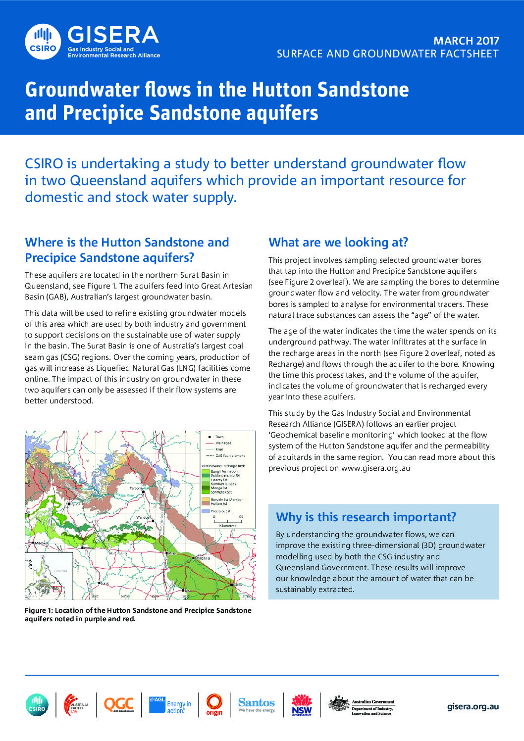
Groundwater flows in the Hutton Sandstone and Precipice Sandstone aquifers
By understanding the groundwater flows, we can improve the existing three-dimensional (3D) groundwater modelling used by both the CSG industry and Queensland Government. In turn results will improve our knowledge about the amount of water that can be sustainably extracted.
Project Progress
This project is complete.

Project proposal
A detailed description of the project, budget and research milestones.

