Understanding connectivity between coal seams and aquifers
This project further improves our knowledge of groundwater systems in the Gunnedah and Surat Basins in the Narrabri region and refines the conceptual understanding of potential for hydrogeological connectivity pathways between shallow aquifers.
CSIRO’s previous research into these groundwater systems has generated important knowledge on the nature of these systems and potential for connectivity between primary target seams for coal seam gas (CSG) development and agricultural aquifers.
The agriculturally important Pilliga Sandstone and other alluvial aquifers are separated from the deeper Gunnedah Basin formations (which include the CSG target units) by aquitards which range in thickness from 300 metres to 700 metres. Aquitards are compacted layers of clay, silt or rock that act as a barrier for groundwater movement.
Research methods adopted a multi-disciplinary approach, comprising six key components: geochronological analysis, mineralogical assessment, an airborne electromagnetic (AEM) survey, hydrochemical data collection, numerical modelling, and hydrogeological modelling.
The outcome of this project will include the generation of high-resolution 3D realizations of the subsurface that represent continuous geological structures.
This provides additional information on the potential for connectivity pathways between the CSG target units and adjacent groundwater systems, and reduce uncertainty about the potential drawdown at depth impacting on aquifer pressure in the confined Pilliga Sandstone aquifer and adjacent alluvium.
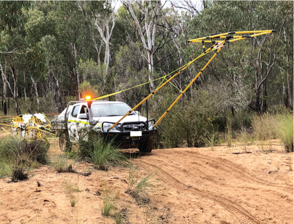
Above: CSIRO researchers conducting a ground-based electromagnetic survey in the Narrabri region in 2021. In late 2023 CSIRO used a helicopter to conduct an airborne electromagnetic (AEM) survey in the Narrabri region as part of this current research (see below).


The assessment of hydrochemistry and integration of multiple data sources confirmed that there is likely a high degree of hydraulic separation between deep coal seams and the Pilliga Sandstone in the south and east of the Narrabri Gas Project area.
The integration of AEM survey results and various analyses confirm the Pilliga Sandstone aquifer is largely isolated from deeper formations due to aquitards (rock formations many hundreds of metres in depth that prevent movement of fluids).
These findings underscore the complexity of the hydrogeological system in the Narrabri region and highlight the necessity for further studies to refine conceptual models of groundwater connectivity.
Reports and journals
Integration of airborne electromagnetic surveys, environmental tracers and geochemical modelling to refine the understanding of connectivity between coal seams and overlying aquifers in the Gunnedah and Surat basins, NSW
This research improves understanding of groundwater systems in the Gunnedah and Surat basins in the Narrabri region of NSW. The assessment of hydrochemistry and integration of multiple data sources confirmed that there is likely a high degree of hydraulic separation between deep coal seams and the Pilliga Sandstone in the south and east of the Narrabri Gas Project area.
Extras
Airborne electromagnetic surveys, environmental tracers and geochemical modelling to refine the understanding of connectivity between coal seams and overlying aquifers
This presentation provides an overview of results of geophysical (including airborne electromagnetic survey), geological and hydrogeological techniques applied in this research project. It demonstrates how multiple lines of evidence were integrated to refine the conceptual models of potential hydrogeological connectivity pathways between coal seams hosted within the Gunnedah Basin and aquifers of the Surat Basin in the Narrabri region.
Geochemical modelling and geophysical surveys to refine understanding of connectivity between coal seams and aquifers
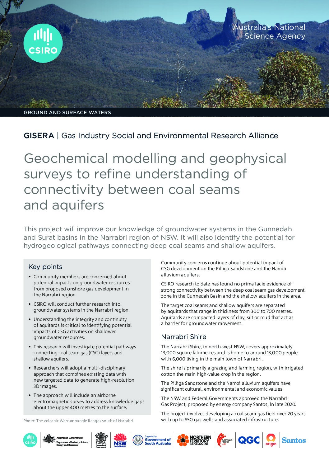
This fact sheet provides an overview of CSIRO research designed to improve our knowledge of groundwater systems in the Gunnedah and Surat basins in the Narrabri region of NSW. Research results will also identify the potential for hydrogeological pathways connecting deep coal seams and shallow aquifers.
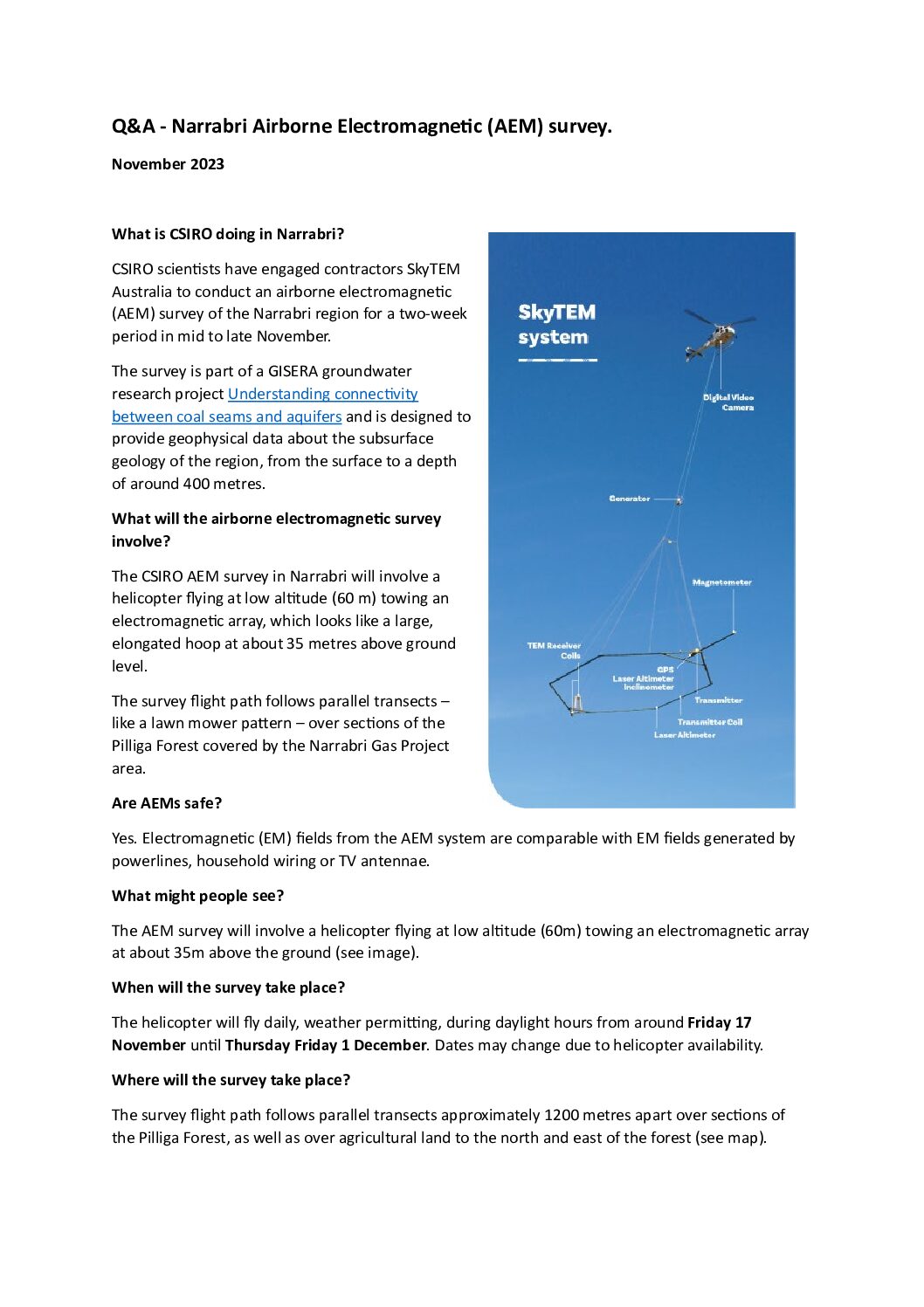
CSIRO airborne electromagnetic (AEM) survey in Narrabri region
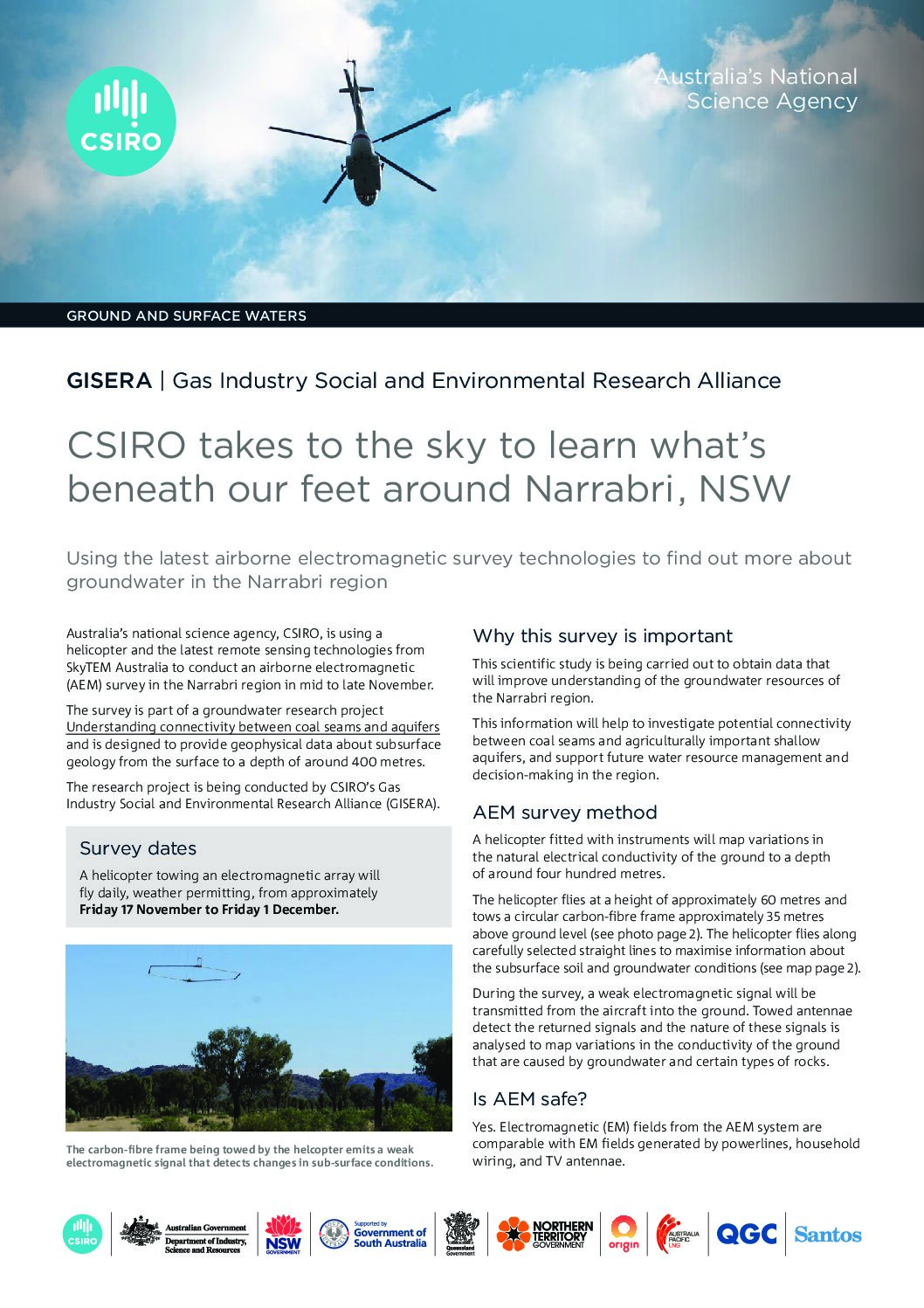
Australia’s national science agency, CSIRO, is using a helicopter and the latest remote sensing technologies from SkyTEM Australia to conduct an airborne electromagnetic (AEM) survey in the Narrabri region in mid to late November.
CSIRO Narrabri airborne electromagnetic survey
Australia’s national science agency, CSIRO, will conduct an airborne electromagnetic (AEM) survey of the Narrabri region using a helicopter for a two-week period in mid to late November.
Questions and Answers: CSIRO Narrabri airborne electromagnetic survey
Answers to commonly asked questions about CSIRO’s Narrabri airborne electromagnetic survey
Project progress
This project complete.
Project proposal
A detailed description of the project, budget and research milestones.