Assessment of faults as potential connectivity pathways
Understanding connectivity and pathways for groundwater systems
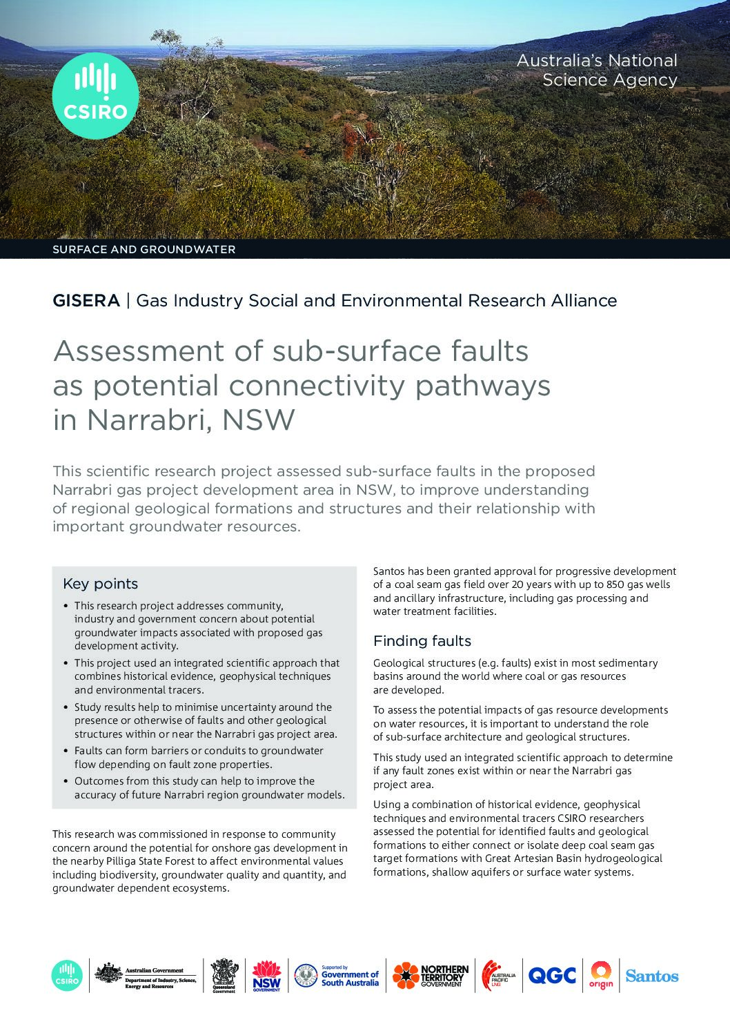
This research project helps address public concerns regarding potential impacts on groundwater by improving understanding of sub-surface structures and potential fault zones, which may act as pathways between target coal seams and shallow aquifers or surface water systems. These results help to further improve the accuracy of future groundwater models in the Narrabri region in New South Wales.
Using a combination of different geophysical methods and environmental tracers CSIRO scientists assessed the continuity and performance of aquitards separating shallow aquifers and coal seams within and near the proposed gas project development area south-west of Narrabri.
Results showed that:
- Geophysics indicate the presence of some faults and fractures which could act as potential pathways for movement of water and gas but no prima facie evidence for this connectivity was observed.
- Hydrochemistry and tracers indicate that throughout the east and south of the proposed CSG development area aquitard extent and integrity limits the potential for vertical connectivity.
- Hydrochemistry and tracers also indicate some geological structures likely form local connectivity pathways north-west of and outside the proposed development area.
- Mixing calculations – which take Pilliga Sandstone aquifer groundwater samples “downstream” north-west of the proposed development area – suggest the increase in salinity in the Pilliga Sandstone is more likely due to mixing from deeper formations located beneath the Pilliga Sandstone and above the target CSG formations in the Gunnedah Basin.
