Baseline monitoring of methane emissions in the Beetaloo Sub-basin
The aim of this project is to monitor and measure background methane levels and rate of change in methane levels during the dry, wet, and fire seasons using mobile survey technology.
The research will provide a better understanding of natural methane levels over the various seasons and result in a baseline for accurately quantifying any future onshore gas impacts.
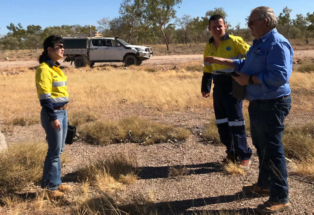
CSIRO scientists on a field trip in the NT
Reports and papers
Pre-exploration measurement and monitoring of background landscape methane concentrations and fluxes in the Beetaloo Sub-basin, Northern Territory: Final Report
This final report presents the findings of a series of three methane baseline surveys conducted during the Northern Territory wet, dry and fires seasons from July 2018 to February 2019.
Average methane concentration across the survey area ranged from 1.80 to 1.82 parts per million (ppm). This is close to the normal background concentrations of approximately 1.8 ppm expected in rural or natural areas. Isolated pockets of slightly elevated methane concentrations were observed in some areas; the sources of these were identified as grazing cattle, townships, a section of above-ground gas pipeline, fires, termites and wetlands.
Pre-exploration measurement and monitoring of background landscape methane concentrations and fluxes in the Beetaloo Sub-basin, Northern Territory: Wet Season Baseline
This report presents the findings of the third and final series of methane baseline surveys conducted during the Northern Territory wet season between 30 January and 5 February 2019. Previous surveys were conducted during the dry season in July/August 2018 and during the fire season in November 2018.
Similar to the previous surveys, the majority of methane concentrations recorded during the wet season surveys were within the range of 1.77 to 1.88 parts per million (ppm) with a median value of 1.81 ppm. This is close to the normal background concentrations of approximately 1.8 ppm expected in rural or natural areas. Isolated pockets of slightly elevated methane concentrations were observed in some areas; the sources of these were identified as grazing cattle.
The vehicle surveys covered approximately 4,050 km on trafficable roads and tracks during the seven-day survey period. This is less than previous surveys due to wet weather restrictions on track access. Where accessible, measurements were replicated near abandoned petroleum wells and water bores that were visited during the first and second surveys.
Pre-exploration measurement and monitoring of background landscape methane concentrations and fluxes in the Beetaloo Sub-basin, Northern Territory: Fire Season Baseline
This report presents the finding of the second series of methane baseline surveys conducted during the Northern Territory fire season between 6 and 15 November 2018. The first series of surveys were conducted during the dry season in July and August 2018.
Similar to the first survey, the majority of methane concentrations recorded during the surveys were within the range of 1.77 to 1.85 parts per million (ppm) with a median value of 1.81 ppm. This is close to the normal background concentrations of approximately 1.8 ppm expected in rural or natural areas. Isolated pockets of slightly elevated methane concentrations were observed in some areas; the sources of these were identified as grazing cattle, urban areas, and fires.
Pre-exploration measurement and monitoring of background landscape methane concentrations and fluxes in the Beetaloo Sub-basin, Northern Territory: Dry Season Baseline
Presents the finding of the first surveys conducted during the dry season between 29 July and 10 August 2018.
The vehicle surveys covered approximately 5,500 km on trafficable roads and tracks during the 13-day survey period. Between 200 and 600 km were driven each day. Most of the surveys were conducted on pastoral land, crown land and exploration leases, however, targeted surveys were made at 11 plugged and abandoned or suspended petroleum wells, and 21 water bores. A section of the Daly Waters to McArthur River Gas Pipeline adjacent to the Carpentaria Highway was also surveyed for the presence of methane.
Overall, the majority of methane concentrations recorded during the surveys were within the range of 1.77 to 1.85 parts per million (ppm) which is close to normal background concentrations of approximately 1.8 ppm expected in rural or natural areas. Isolated pockets of slightly elevated methane concentrations were observed in some areas; the sources of these were identified as grazing cattle, urban areas, small grassfires, a natural spring, and a section of above-ground gas pipeline and associated valves.
Extras
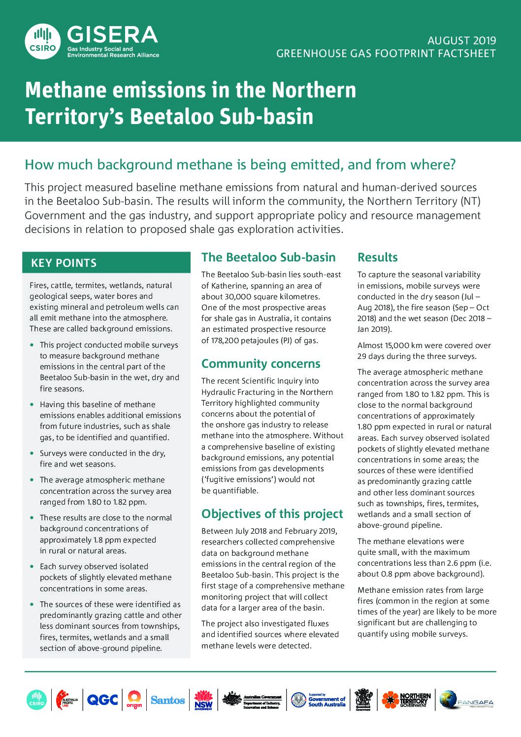
Methane emissions in the Northern Territory’s Beetaloo Sub-basin
Before any shale gas exploration is approved, this project measured baseline methane emissions from natural and human-derived sources in the Beetaloo Sub-basin. The results will inform the community, the Northern Territory (NT) Government and the gas industry.
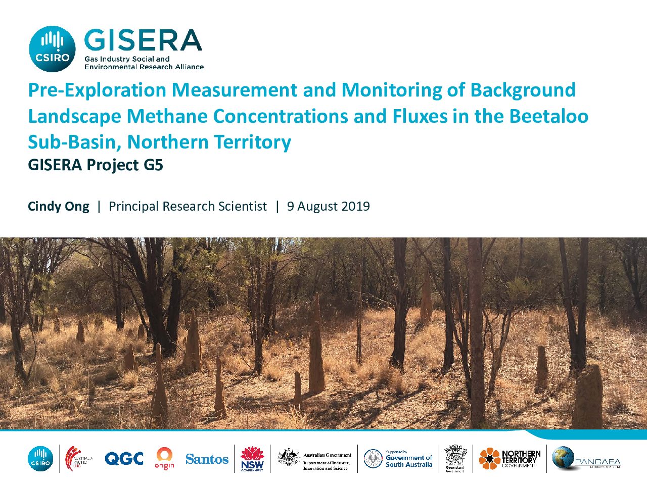
Pre-Exploration Measurement and Monitoring of Background Landscape Methane Concentrations and Fluxes in the BeetalooSub-Basin, Northern Territory
Presentation to the Northern Territory Knowledge Transfer Session in Darwin, August 2019.
Project progress
This project is complete.
Project proposal
A detailed description of the project, budget and research milestones.

