Putting land management knowledge into practice
This project will develop high-quality spatial data to help landholders, regulators and the gas industry to evaluate the design and placement of gas infrastructure, protect surface water and vegetation, and reduce erosion, soil damage and dust.
Part of this research will include the development of novel communication tools to improve the exchange of data between stakeholder groups. The project will use modern data visualization techniques to present spatial data relating to landscape processes in the Beetaloo Sub-basin in a ‘virtual landscape’ using augmented reality technology. This allows complex processes such as hydrology, soil loss or pasture dynamics to be more easily understood, and to communicate best practice management of potential environmental risk.
[Music plays and a split circle appears on the screen and images flash through in either half of the circle of photos of the different CSIRO research areas]
[Image changes to show the CSIRO logo on a white screen]
[Image changes to show text on a white screen: Predicting water flow]
[Image changes to show an outline map of Australia appearing and then the image shows the Beetaloo Basin pinpointed in the Northern Territory and the camera zooms in]
Narrator: The Beetaloo Basin in the Northern Territory is one of five gas fields the Australian government plans to open up.
[Image changes to show cattle grazing in sparse bushland]
This part of the Northern Territory is known for large scale grazing.
[Image changes to show a sparse shrubby landscape, and then the image changes to show a track next to a fence line, and then the image changes to show a car moving along a highway]
The soils in this region are fragile and weather in the Top End can be extreme with long dry periods, followed by intense wet seasons.
[Images move through to show the Scientific Inquiry into Hydraulic Fracturing booklet, a ute on the side of a dirt road, a road in the construction phase, and a gas pipe and text appears: Addressing the NT Hydraulic Fracturing Inquiry Recommendations 7.18, 8.13 and 8.14]
The Northern Territory Scientific Inquiry into Hydraulic Fracturing recommends minimising impacts on surface water flows and erosion during the construction of gas infrastructure such as roads and pipelines.
[Images move through of researchers in conversation while looking at digital maps on a screen, an aerial view of a landscape digital model, and a male working on a digital map and text appears: Development virtual models]
Over the past six years CSIRO researchers have been using digital technologies to quantify and communicate impacts of gas development on grazing lands.
[Images move through of various digital models on a computer screen, and an animation showing a plane taking photos of a landscape including woodland, roadway, and agricultural areas]
Using virtual models or digital twins of agricultural landscapes, researchers can make the invisible visible.
[Images move through of an aerial view of a digital landscape and the image pans in a clockwise direction]
The models are created by taking overlapping aerial photos and using software to identify the elevation of any point in the landscape, like using both eyes to judge the distance of an object. This is repeated billions of times to create a 3-D model of the soil surface.
[Image changes to show a digital landscape on a computer screen and then an image showing waterflow gradually moves over the digital landscape and text appears: Where does the water flow?]
Other software determines where water would flow through the landscape and calculates the catchment area for each point on the soil surface.
[Image shows a digital landscape showing a gas basin and then a water flow model moves over the digital landscape and the camera zooms in on the gas basin area]
These high-resolution models help land owners and companies identify high-risk erosion areas and improve infrastructure design to minimise erosion risk.
[Image changes to show spindly trees in a landscape and text appears: Ground cover and erosion risk]
Groundcover is also important for managing erosion.
[Image changes to show a termite mound in scrubland and then the image changes to show a track through dry scrubland]
Areas with low levels of grass cover caused by cattle grazing or poor soil health are at higher risk of erosion.
[Image changes to show a digital map highlighting areas of poor land condition in red and yellow and text appears: Poor land condition]
Satellite data is used to highlight areas of poor land condition across the landscape.
[Image changes to show a digital waterflow map and the camera pans over the map surface and text appears: Infrastructure planning and sustainable land management]
When integrated with waterflow maps and gas and farm infrastructure, land managers can better identify areas needing more attention.
[Image changes to show an aerial view of the gas basin site and the camera gradually pans over the site]
These tools help minimise risk and maximise benefits.
[Images move through to show an aerial view of gas infrastructure, a road through the scrub, a close view of equipment on the gas station, and various views of scrubland and text appears: For more information visit gisero.csiro.au]
Careful design and location of gas infrastructure such as roads, camps and fence lines can provide opportunities that benefit farmers and developers while helping to protect the environment.
[Music plays and the CSIRO, Australia Pacific LNG, QGC, Origin, Santos, Dept of Industry, Science, Energy and Resources, Northern Territory Government, New South Wales Government, Government of SA, Queensland Government, and Pangaea Resource Pty Ltd logos and text appears: GISERA, Gas Industry Social and Environmental Research Alliance]
[Image changes to show the CSIRO logo on a white screen and text appears: Australia’s National Science Agency]
Predicting Water Flow video May 2021
Reports and journals
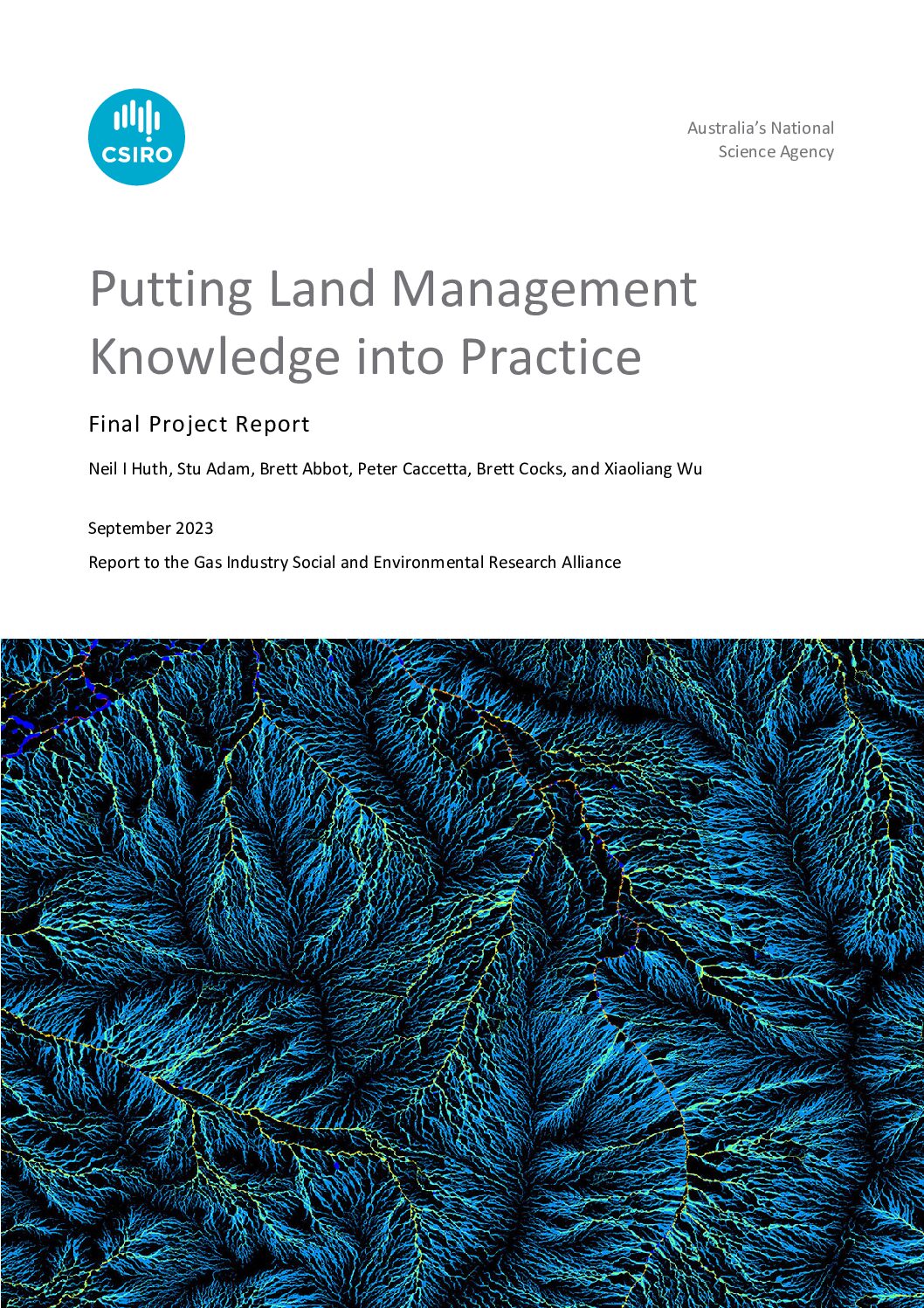
Putting Land Management Knowledge into Practice
This final report describes the methodology and outcomes of the CSIRO GISERA research project to “put into practice” the knowledge gained from previous GISERA projects within the Northern Territory, especially in the areas of agricultural land management. CSIRO researchers demonstrated use of landscape digital twins to inform environmental management and infrastructure design decisions, and explored options for improved stakeholder engagement around land management issues.
Resources
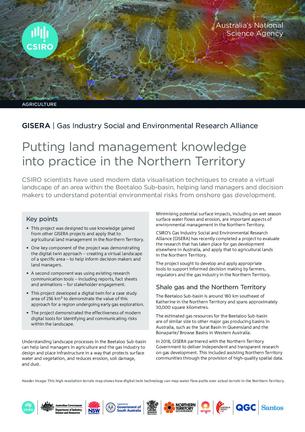
Putting land management knowledge into practice in the Northern Territory
This fact sheet describes how CSIRO scientists have used modern data visualisation techniques to create a virtual landscape of an area within the Beetaloo Sub-basin in the Northern Territory, helping land managers and decision makers to understand and manage potential environmental risks from onshore gas development.
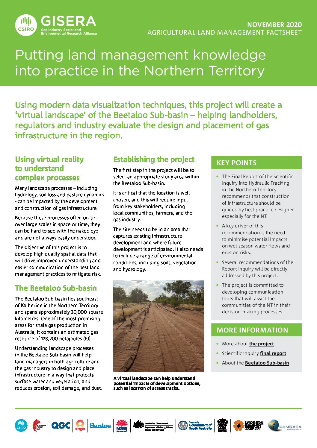
Putting land management knowledge into practice in the Northern Territory
Using modern data visualization techniques, this project will create a ‘virtual landscape’ of the Beetaloo Sub-basin – helping landholders, regulators and industry evaluate the design and placement of gas infrastructure in the region.
Project progress
This project is complete.
Project proposal
A detailed description of the project, budget and research milestones.