UAV–LiDAR and spaceborne remote sensing in the Beetaloo
This CSIRO research project developed a scalable approach for monitoring the structural condition of vegetation in the Beetaloo Sub-basin.
The research addresses community concerns about the potential impacts of onshore gas development in the Beetaloo Sub-basin affecting regional biodiversity.
Research results also demonstrate the potential for remote sensing technologies to offer cost effective options for large-scale monitoring of environmental values.
Reliable estimates of habitat change are critical for monitoring the effects of resource development and minimising adverse consequences for biodiversity.
Accurate and scalable monitoring tools are essential for providing landowners, regulators, community members and other stakeholders with confidence that the natural and important characteristics of the ecosystem are preserved.
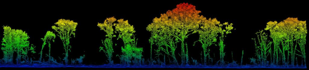
A three-dimensional (3D) image of Beetaloo Sub-basin vegetation. The colour scale shows height above ground level.
Recent rapid advances in UAV-LiDAR technology now enable the three-dimensional (3D) reconstruction of landscapes and vegetation in fine detail, over large spatial areas.
LiDAR (Light, Detection and Ranging) refers to a method of survey data capture whereby a laser is reflected off an object and the response time to the return sensor enables the calculation of the distance. When many thousands of laser pulses occur every second a detailed 3D point cloud of the surroundings can be created.
This technology provides a bridge between what can be collected in the field, and what can be estimated from space. It provides a robust snapshot of ecosystem state at a particular point in time, that can be used for calibrating and validating satellite remote sensing products.
In this study, CSIRO scientists successfully demonstrated the application of high-resolution UAV-LiDAR to characterise a study site in the Beetaloo region, and confirmed the potential for upscaling to larger areas via satellite-based remote sensing platforms (Sentinel satellites, built and operated by the European Space Agency and the Copernicus Programme).
CSIRO scientists used drones fitted with high-precision LiDAR sensors to map key areas of interest at repeated time intervals to assess change in habitat structure through time.


Above, left – CSIRO scientists used drones fitted with LiDAR sensors to map biodiversity in the Beetaloo (photo credit: Shaun Levick). Right – The Sentinel 1 satellite (image credit: European Space Agency/ATG medialab).
Use of machine learning to establish relationships between UAV-LiDAR and spaceborne imagery allowed the development of models which predict vegetation structure, and structural change, across broader landscapes.
These 3D temporal datasets were used to test the sensitivity of different satellite sensors for detecting patterns of system dynamics, and to develop a scalable method for monitoring habitat change over larger spatial areas.
Results from this study highlight the power of fusing open access and readily available satellite data and multi-spectral imagery for regional scale habitat characterisation and monitoring.
A systematic monitoring program using the methods described in this study may provide an objective dataset that reassures stakeholders, including the broader community, that potential biodiversity impacts can be detected and mitigated.
Reports and journals
UAV–LiDAR and spaceborne remote sensing for habitat structure monitoring in the Beetaloo
This research explored the development of a scalable and systematic approach for monitoring the structural condition of vegetation in the Beetaloo region in the Northern Territory. The research addresses community concerns about the potential impacts of onshore gas development in the Beetaloo Sub-basin affecting the regional biodiversity. Research results also demonstrate the potential for remote sensing technologies to offer cost effective options for large-scale monitoring of environmental values.
Extras
Using drones and satellites to monitor habitat in the Northern Territory
This fact sheet describes a CSIRO research project which used drones and satellites to monitor habitat conditions in the Beetaloo Sub-basin in the Northern Territory.
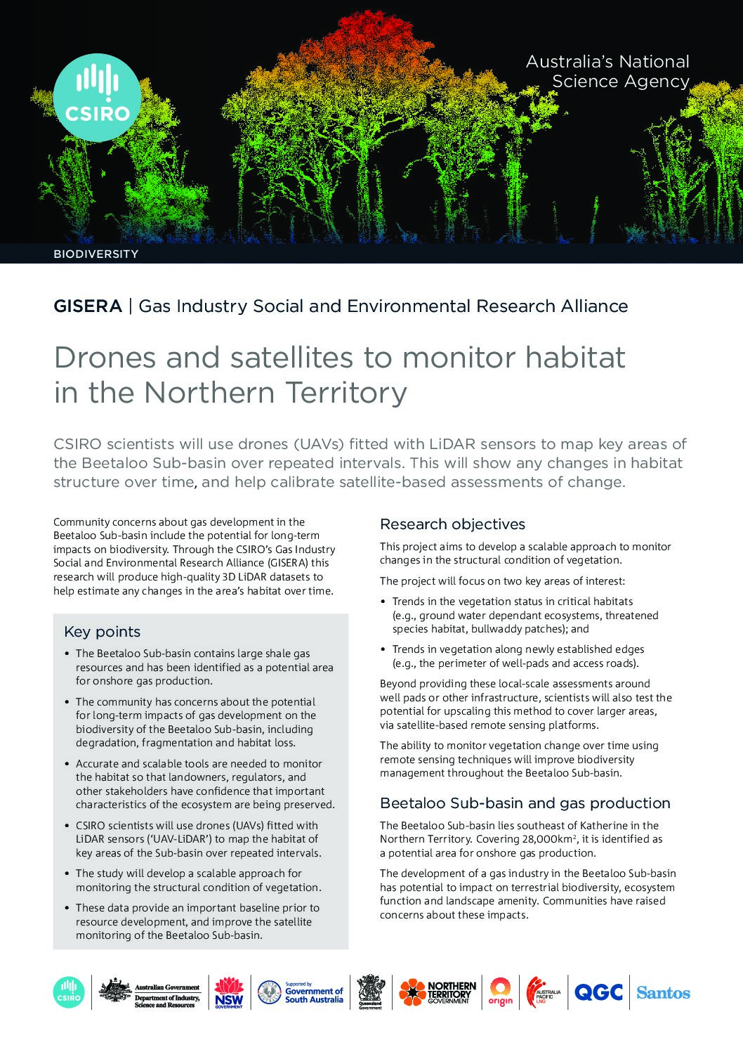
Drones and satellites to monitor habitat in the Northern Territory
This fact sheets provides a brief overview of the GISERA research project “UAV–LiDAR and spaceborne remote sensing for site survey and habitat condition monitoring in the Beetaloo. CSIRO scientists will use drones (UAVs) fitted with LiDAR sensors to map key areas of the Beetaloo Sub-basin over repeated intervals. This will show any changes in habitat structure over time, and help calibrate satellite-based assessments of change.
Project progress
This project is complete.
Project proposal
A detailed description of the project, budget and research milestones.