Northern Perth Basin subsurface resources conflicts
This research project will provide a comprehensive framework that will offer valuable scientific advice for resources development in the northern Perth Basin, taking into account the physical, chemical and geological information characteristics of the region.
Research results will identify potential conflicts of onshore gas development and any associated carbon capture and storage (CCS) development with groundwater use, other subsurface activities such as mining and geothermal, and land-use for agriculture and renewable energy.
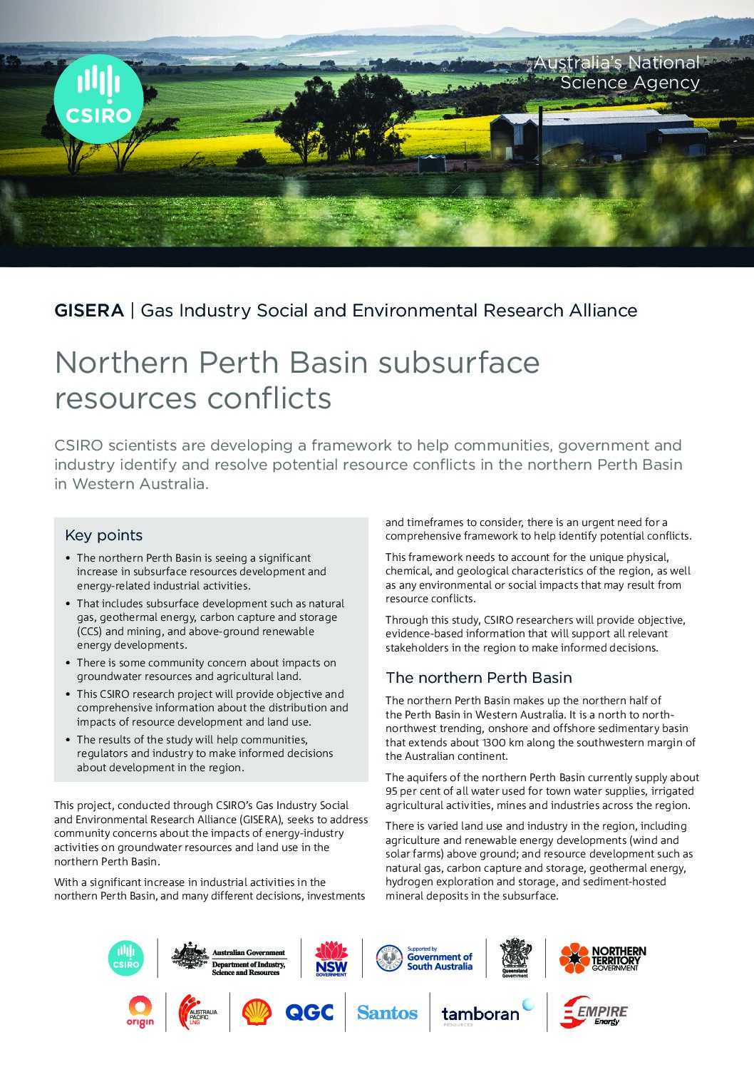
The northern Perth Basin makes up the northern half of the Perth Basin, which is a north to north–northwest trending, onshore and offshore sedimentary basin extending about 1,300 km along the southwestern margin of the Australian continent.
The aquifers of the northern Perth Basin currently supply about 95 percent of all water used for town water supply, irrigated agricultural activities, mines and industries across the region, and potential impacts of potential resource developments on groundwater resources are a cause for concern in the local community.
A further community concern is the competition for land access between subsurface resources, agricultural use and emerging renewable energy projects such as wind and solar farms, each of which have large surface footprints.
Determining the distribution, overlap and relationship between subsurface resources, and the timing of different decisions and investments into future industry activities will aid community groups and regulators to better understand how to prioritise and stage various potential projects that involve onshore gas and related activities.
Extras
Northern Perth Basin subsurface resources conflicts
This fact sheet describes a CSIRO research project which will develop a framework to help communities, government and industry identify and resolve potential resource conflicts in the northern Perth Basin in Western Australia. Through this study, CSIRO researchers will provide objective, evidence‑based information that will support all relevant stakeholders in the region to make informed decisions.
Project progress
This project is 80% complete.