It’s quiet out there…
A CSIRO research program designed to establish a baseline of seismic activity in the Beetaloo Sub-basin in the Northern Territory did not detect detect any natural seismic activity within the region in the years 2019 to 2024.
This project established long-term background seismic data to characterise the current natural seismic activity in the Beetaloo region. This baseline data can be used to distinguish any possible increases in seismic activity resulting from future gas development and operations in the region.
In addition, the project predicts the seismic hazard caused by any future natural and induced activities using physics-based ground motion computations.
CSIRO scientists used a continuous seismic dataset recorded by the sparsely distributed regional seismic sensor array deployed and operated by Geoscience Australia to investigate the baseline seismic activity levels within the Beetaloo sub-basin and its nearby surroundings.
Researchers investigated relative noise levels and environmental noise sources, and used machine-learning based methods to detect and locate any seismic activity.
While the analysis of data did detect mining blasts approximately 200 km away from the seismic array, researchers did not detect any natural seismic activity within the region in the data for the years 2019 to 2024.
The lack of seismic activity can be a function of the sparse seismic array, which affects the detection threshold, or a real lack of seismicity.
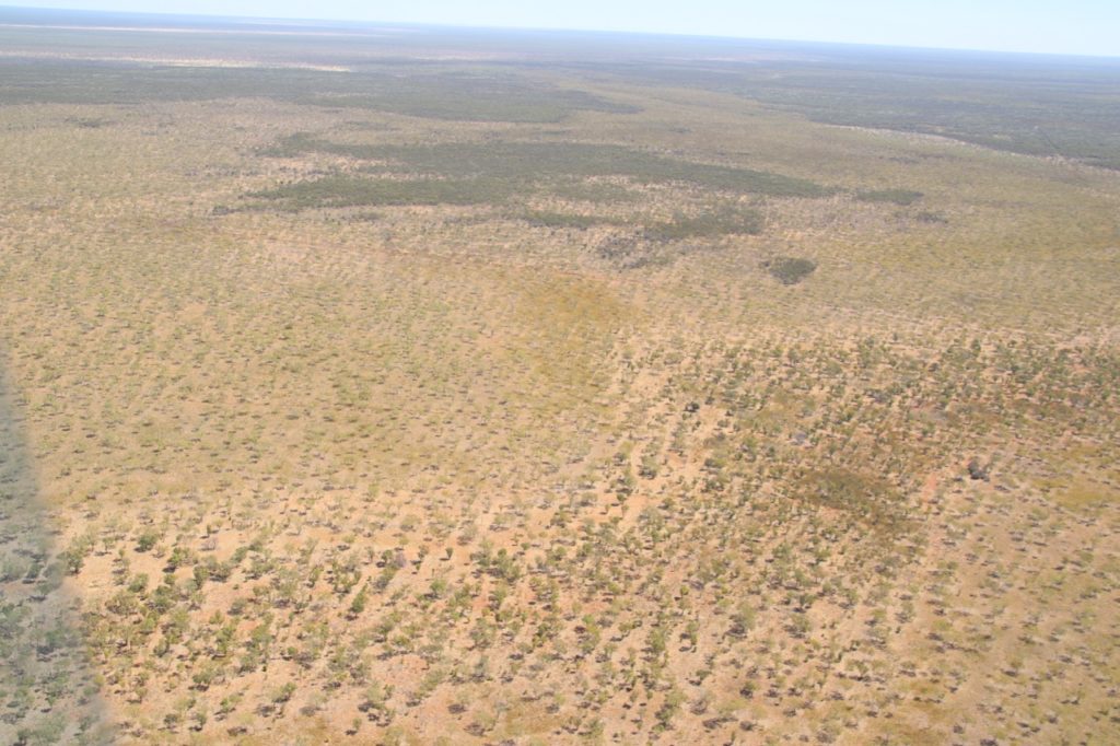
Arid country typical of the Beetaloo Sub-basin
Researchers conclude that a combination of tightly clustered monitoring points and analysis of satellite-derived digital elevation models for investigating previous large historical earthquake activity in the region could help quantify regional natural seismic risk.
In an Australian first, the project also trialled a physics-based simulation method to estimate the ground shaking at any point within the basin caused by a hypothetical but realistic regional earthquake scenario, utilising CSIRO’s high-performance computing facilities.
Read the final report
Learn about other GISERA research in the Northern Territory