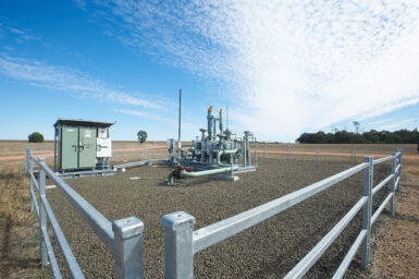
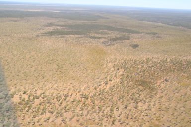
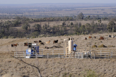
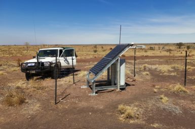
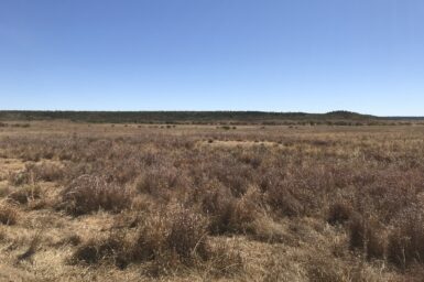
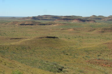
Land and infrastructure
Research about land and infrastructure aims to identify planning opportunities, collect baseline data and manage any adverse impacts upon land potentially affected by gas development.
Research about land and infrastructure aims to identify planning opportunities, collect baseline data and manage any adverse impacts upon land potentially affected by gas development.