Cooper Creek flood modelling
CSIRO’s Gas Industry Social and Environmental Research Alliance (GISERA) has undertaken research to evaluate how resource development and climate change could impact on Cooper Creek and its floodplain.
Cooper Creek is part of one of the world’s last major free-flowing desert river systems. It flows for 1,500 kilometres and has a vast floodplain that spans a large part of south-west Queensland along with a smaller area of north-east South Australia.
Detailed flood modelling will help inform careful design of roads and other infrastructure on the floodplain and will also allow researchers to explore potential changes to water availability and persistence of critical waterholes.

Flooded highway with vehicles crossing
Flooded highway Thomson River Muttaburra Channel Country Queensland Australia
A key output from this project is the development of Cooper Creek Flood Modelling story maps, which allow users to explore various flood modelling scenarios.
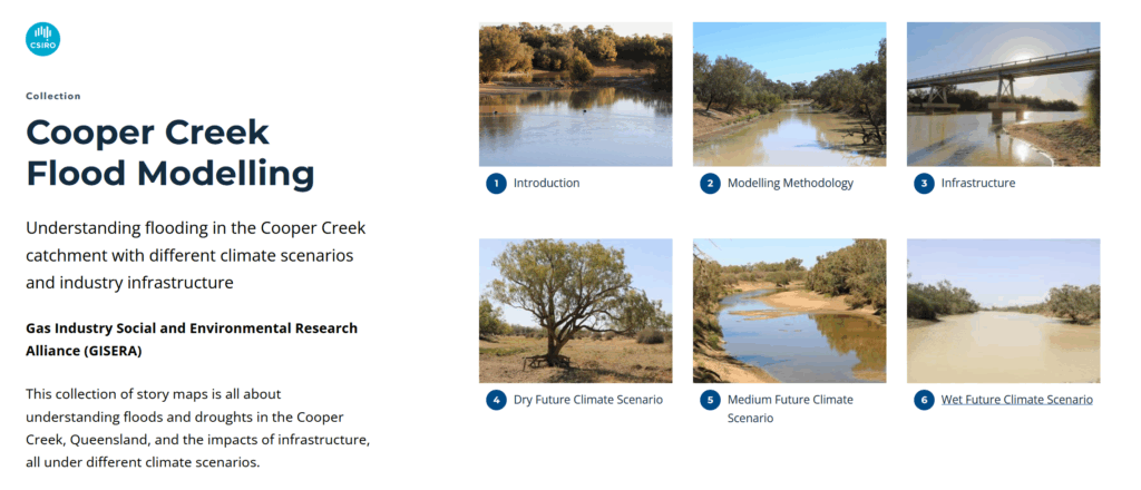
This collection of story maps is all about understanding floods and droughts in the Cooper Creek, Queensland, and the impacts of infrastructure, all under different climate scenarios.
We show how floods move; down the Thomson and Barcoo Rivers, through their confluence to form the Cooper Creek – above Windorah and down to the Baryulah Floodplain, near the state border with South Australia.
Come and explore the Cooper Creek…
Find out more about this project
Learn about other GISERA research in Queensland